Wednesday 13 January 2016

2015 Canadian Battlefields tour post-script: the Hundred Days of 1918 -- Amiens to Bourlon Wood

After the Canadian Battlefields tour ended and I bid adieu to my group, I rented a car and headed back up to the Somme, Arras, and Ypres for a few days of solo exploration. Leaving Paris behind, my first stop was Amiens. I have read a fair bit about the battle over the years but had never had the chance to go over the ground in any detail so this was a treat.


Hangard Wood British Cemetery lies just in front of the portion of the front line held by the 13th Battalion (Royal Highlanders of Canada) -- the Black Watch -- at the beginning of the Battle of Amiens. The immediate area had been captured by the Germans during the 1918 spring offensive but was quickly taken by the Canadians once the Amiens show kicked off on 8 August.
The cemetery contains a number of French burials from earlier fighting in the area, alongside those from the Commonwealth.
Among the Canadian casualties in Hangard Wood is Victoria Cross winner Private John Bernard Croak of the 13th Battalion, who fell on the first day of the Battle of Amiens. The inscription chosen by his family suggests a different sort of message than one usually sees on the headstones: "Do you wish to show your gratitude? Kneel down and pray for my soul."
An ironic and somewhat chilling name is found on this headstone: Private J. Death of The Queen's (Royal West Surrey Regiment), killed during the German spring offensive of 1918.
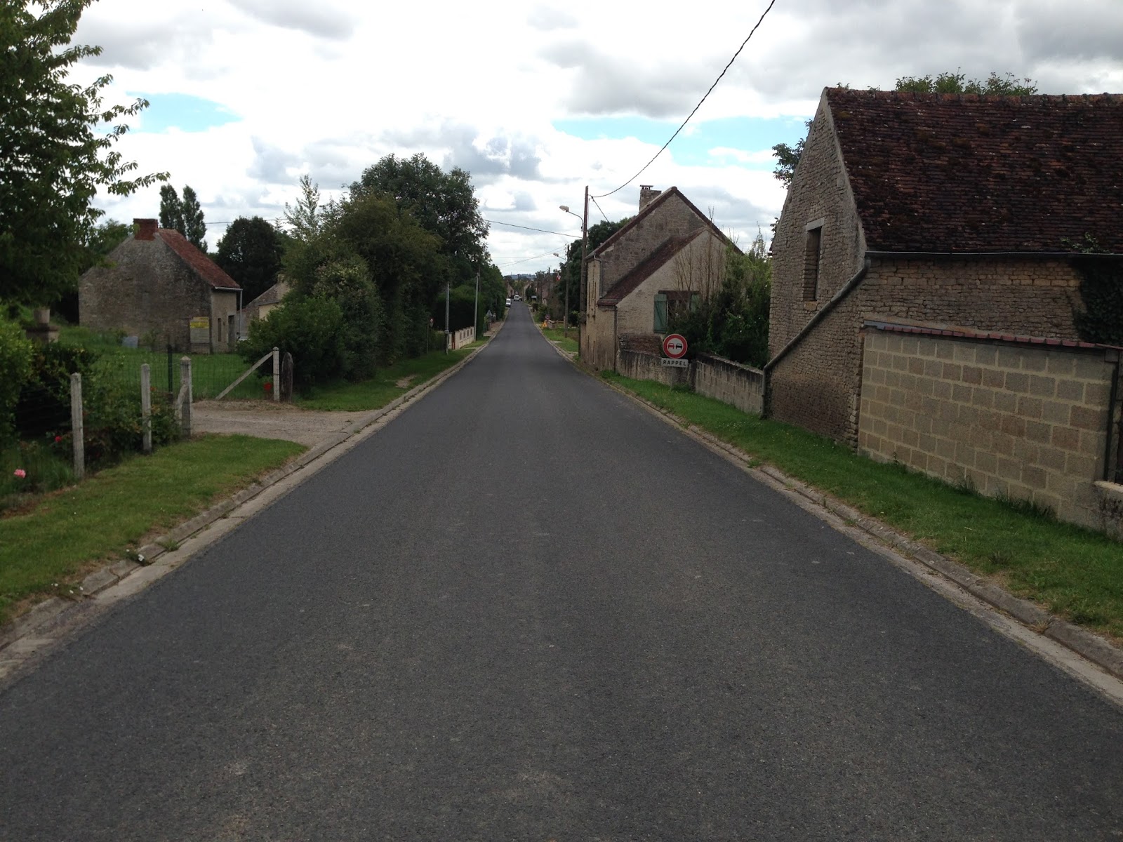
After leaving Hangard Wood and the Canadian start line for the Battle of Amiens, I headed toward Caix British Cemetery, the location of which was right in the middle of the Canadian portion of the Amiens battlefield. The Canadian Corps, in fact, stopped on a line just east of Caix at the end of the day on 8 August, having advanced eight miles. The battle resumed on 9 August and continued for another ten days until it was called off in the face of stiffening German resistance as the enemy retreated into the old 1916 Somme defences. On the way to the Commonwealth cemetery, I passed this rather neglected German cemetery.

This is the first military cemetery from either World War that I have seen looking so run-down, whether German, Commonwealth, French, Polish, or American.
A short way up the road from the German cemetery, I found the reason for my visit to this part of the battlefield. Back in 2006 a collection of human remains was found on private property near the easternmost edge of the Amiens battlefield. Casualty investigation by Canada's Department of National Defence identified the eight bodies as members of the 78th Battalion (Winnipeg Grenadiers). The men had died on 11 August as the battalion pushed into the town of Hallu, part of the old German trench system. Five of the eight men were positively identified from DNA evidence, and they had been reinterred at Caix a couple of days before my visit. The previous summer, I had been present at Minto Armoury in Winnipeg on the day of the announcement that these men had been identified, and this trip brought me too close not to pay my respects at their final resting place.


After leaving Caix, I headed northwards to explore the Canadian battlefields along the road from Arras to Cambrai. Before I left the Somme battlefields, I passed by the Australian memorial at Bullecourt. As the Canadian Corps was completing its capture of Vimy Ridge in April 1917, the Australians launched a hasty attack to the south, targeting a section of the formidable Hindenburg Line defences. In a series of actions extending into early May 1917, the Australians lost over 10,000 casualties. Their gains were subsequently lost the next year during the German spring offensive.
"The Digger."
It was getting late by the time I reached the battle area south-east of Arras, which was the scene of the Canadian Corps' greatest achievements -- according to Lieutenant-General Sir Arthur Currie, at least. I took a quick look at the Canadian memorial at Dury, which marks the breaking of the Drocourt-Queant Line -- the northern hinge of the Hindenburg Line defences -- at the beginning of September 1918.


The inscription on the stone reads: "The Canadian Corps 100,000 strong attacked at Arras on August 26th 1918, stormed successive German lines and here on Sept. 2nd broke and turned the main German position on the Western Front and reached the Canal du Nord."


Before heading to my hotel in Cambrai I drove back up the road toward Arras for a hurried look at the ground over which the Germans had constructed some of their strongest defences on the Western Front. Amidst a series of hills and valleys stretching over roughly five kilometers that surely constituted a major barrier to the Canadian advance -- judging from the terrain it seems obvious why the Germans chose to make their stand here -- I found Vis-en-Artois British Cemetery. The area was captured by the Canadians on 27 August and a primarily Canadian cemetery was created immediately. After the fighting ended Vis-en-Artois became a concentration cemetery and burials from smaller plots in the surrounding region were reinterred here. The cemetery now contains over 2300 burials, more than 1400 of which remain unknown.

First thing next morning I headed for the site where the Canadian Corps made its assault crossing of the Canal du Nord, catching this site en route.
This is the spot where the Canadians crossed the canal on 27 September. Recognizing that this section of the canal had not yet been completed and remained dry, it is difficult now to appreciate how difficult an obstacle it presented. This is the "Canadian" side of the canal.


Things look quite different from the "German" side of the canal. The steep bank is visible in the middle of the photo. Little cover from German fire was available to the Canadians coming over the canal bank here.


Once over the canal, the next main objective was Bourlon Wood. Seen here at a distance of roughly five kilometres from the eastern side of the Canal du Nord, the importance of the high ground at the wood seems obvious.


The Canadian memorial park at Bourlon Wood. These trees lining the path up to the memorial survived the battle.


This was the last, chronologically, of the eight major Canadian battles that were memorialized in stone. Apart from the unique projects at Vimy Ridge and St. Julien (Ypres), these octagonal granite blocks were placed to commemorate the battles for Courcelette, Hill 62 (Mount Sorrel -- Ypres), Passchendaele, Amiens, Dury (the DQ Line), and, here, Bourlon Wood. The inscription reads: "The Canadian Corps on 27th Sep. 1918 forced the Canal du Nord and captured this hill. They took Cambrai, Denain, Valenciennes & Mons, then marched to the Rhine with the victorious Allies."


The Canadian battles of the Last Hundred Days constituted the highest achievement of Canadian military forces in our history. At a time when the British Army was largely worn out, the Canadian Corps -- bolstered by reinforcements from the disbanded 5th Division in Britain and by conscription -- spearheaded the Allied advance on the northern part of the Western Front. In three months of unrelenting offensive action, the Canadians led the way in breaking the last German defences in France and Belgium, leaving the enemy with little option but to ask for an armistice. The intensity of the operations was revealed by its cost: over the course of the Hundred Days, the Canadian Corps suffered 20 per cent of the casualties it sustained over the entire course of the war dating back to the spring of 1915. It is a real shame that these battles -- overshadowed as they are by the stunning success at Vimy Ridge -- are so little known by Canadians. So too the man who played such an important role in orchestrating the Corps' operations after Vimy, Sir Arthur Currie.


Thursday 30 July 2015

2015 Canadian Battlefields tour post-script: Paris interlude


Following three nights in Caen, we left Normandy for Paris, our last stop on the trip. After a quick sightseeing tour and a farewell dinner, the formal tour came to an end and I said goodbye to a wonderful group.


I decided to stick around for a few extra days, rent a car, and head back north on my own to go over some of the First War battlefields in greater depth. Before picking up my car I spent a couple of hours at Notre Dame. This is my favourite spot in Paris and I've been there a number of times. This was my first trip up the towers to see the cathedral from another perspective.
It was about 400 steps to the top of the bell tower. On the way, I passed these guys, who have arguably the best view of the city. More amazing was the young couple who went up with two young children plus the baby which dad took up on his back. Did I mention it was 400 steps to the top? Up a narrow, twisty, and crowded stairway? I thought they were nuts, and certainly more ambitious than I. Turned out they were also from Winnipeg!


And finally, this photo just to show that the French do, in fact, have a sense of humour.


Next up, Ypres and the Last Hundred Days from the backroads where we can't take a motor coach... Stay tuned.

Tuesday 28 July 2015

2015 Canadian Battlefields Tour summary: Normandy


From Dieppe we took the road for the Normandy battlefields. Our first stop, on the way in to Caen, was the Abbaye Ardenne. This medieval abbey was the headquarters of Kurt Meyer's 25th SS Panzergrenadier Regiment of the 12th SS Hitler Youth Division. On the night of 7-8 June 1944, troops under Meyer's command interrogated and then murdered 18 Canadian prisoners of war in the abbey garden. Two more were murdered in similar fashion later in the month. This was just one site among a number in Normandy where similar war crimes were committed by the SS.


The following day, we hit the D-Day beaches. We began at Beny-sur-Mer Canadian War Cemetery. Most of the burials are for the casualties of the fighting in the early stages of the Battle of Normandy.


This group shot was taken right outside the cemetery.


Next stop was Juno Beach, and the town of Bernieres-sur-Mer. The Queen's Own Rifles assaulted this beach, assisted by tanks from the Fort Garry Horse. The large house on the beach is visible in many period photos taken during the assault.


After Bernieres, we headed for the Juno Beach Centre, in Courseulles-sur-Mer. Courseulles was taken by the Royal Winnipeg Rifles and the Regina Rifles. It was the toughest of the Canadian targets on D-Day owing to the number of German strongpoints on this sector of the beach. This photo shows a 25-pounder, the primary field gun in the British and Canadian armies.

 
This bunker at Courseulles was taken by the Royal Winnipeg Rifles.


 The plaque reads: "'Cosy's Bunker.' This bunker was stormed and taken by Lt. W.F. (Cosy) Aitken and 10 Platoon of 'B' Company, The Royal Winnipeg Rifles, on 6 June 1944. 'B' Company suffered 78% casualties assaulting 'Mike Green' Beach."


Churchill tank on Juno Beach at Courseulles.
Remains of the Mulberry harbour are visible in the English Channel at Arromanches on Gold Beach. The Dieppe raid taught the Allies how difficult it would be to capture a defended port, and port facilities were crucial to the logistical build-up that would accompany the invasion. So, the Allies simply towed their own pre-fab harbours across the Channel and assembled them off the beaches! The American harbour off Omaha Beach succumbed to the great storm that hit the area beginning on 17 June, but remnants of the British harbour survive to this day.

Our last stop of the day was at the American cemetery at Omaha Beach. The mood and the message is quite different here than it is at the Commonwealth War Graves Commission cemeteries. For me, the large monuments and ringing bells suggest almost a Disneyfication of remembrance. "Our" cemeteries seem (to me) much more reserved, thoughtful, and touching.

Omaha Beach. German bunker visible at centre.


The next day we explored the battlefields south of Caen in the rain, so the next few photos are from the 2014 tour, which was graced with better weather! This is the Canadian memorial at Point 67, taken by the Calgary Highlanders during Operation Atlantic. This position overlooks the towns of St-Andre-sur-Orne and St-Martin-de-Fontenay, with Verrieres Ridge in the distance.


A better look at Verrieres Ridge and St-Martin, from where the Black Watch made their disastrous assault on the ridge during Operation Spring, 25 July 1944. The ridge was not taken until 7-8 August, during Operation Totalize.
Bretteville-sur-Laize Canadian War Cemetery is the resting place of those casualties who fell during the latter stages of the Battle of Normandy.

We stopped in Falaise for a very rainy lunch break. Last year it was much sunnier!

Here is William the Conqueror's statue and his castle, with the hotel de ville in between.

After lunch we looked at the closing of the Falaise gap. This field of poppies overlooks the gap near St-Lambert-sur-Dives.


Major David Currie of the South Alberta Regiment won the Victoria Cross at St-Lambert-sur-Dives, for holding the town amidst determined counterattacks from German troops trying to escape the Falaise pocket.


This is the Polish memorial at Mont Ormel, which overlooks the Germans' escape route out of the the pocket.


This Tiger tank outside Vimoutiers broke down and was abandoned by its crew during the final stages of the battle to close the Falaise gap.

Tuesday 7 July 2015

Canadian Battlefields 2015 tour summary: Dieppe

The Canadian cemetery at Dieppe is south of the city, so it makes sense to stop there on the way to the beach if one approaches from the Amiens area as we did. This year we got a surprise. The headstones were in the process of being replaced, so things looked somewhat dishevelled. The headstones here are interesting for another reason: the dead were buried by the Germans, in German fashion, head-to-head, producing these double-rows of headstones.
After our stop at the cemetery, we headed for the lookout over the main beach, which is just beside the chateau on top of the west headland. Looking eastwards, this is the beach that was assaulted on 19 August 1942 by the Royal Hamilton Light Infantry (nearest the headland) and the Essex Scottish (nearest the harbour jetty which can be seen at centre-left). Furthest penetration was about to the right-hand edge of the grassy boulevard that parallels the beach. The metal dome in the right foreground is part of a German observation post.
This is the Canadian memorial park at the foot of the west headland, with the chateau clearly visible.


Here are a couple more views of the west headland, looking west from the beach. This photo gives some impression of the steep rise of the beach -- from this point, one cannot see over the rise to observe the town itself. The chert (fist-sized stones covering the beach) constituted a significant obstacle to Allied tanks during the Dieppe raid.

Again, looking west along the beach.


Part of our group assembled for a closer look at the beach before setting out for a rather long walk to Blue Beach at Puys.
Along the beach are located memorials to the RHLI...
...and the Essex Scottish.
We walked along the beach to the harbour, which we had to cross to find the way to Puys. From the harbour we got a good look at the eastern headland. The Germans had guns in the caves at the foot of the headland and concrete casemates on top, from which they were able to pour devastating fire onto the beach.
Between Dieppe and Puys you can still see the remains of a German anti-aircraft battery on top of the east headland. There were a number of casemated positions along the headland between Dieppe and Puys; three remain visible -- two on the clifftop from the AA battery, and another which has fallen onto the beach. On my first visit in 1996 I was able to inspect the position, but it is now fenced off for safety reasons.
Because you're not supposed to climb up to the casemates, of course I did just that.
When you get a look from the edge, you can plainly see why you're not supposed to go up here. This casemate is right on the edge of the cliff, and erosion is gradually reducing its support.


This is the third casemate, seen from the beach between Dieppe and Puys. It is even more obvious from here why the other two are now fenced off!


This is the beach at Puys where the Royal Regiment of Canada landed on 19 August 1942. Their objective was to climb the cliff west of the sea wall (to the right of the photograph) and take out the German battery on Dieppe's east headland. Most of the men were pinned down on this stretch of beach, seeking shelter from German fire directed from the cliff shown in the distance, on the eastern end of the sea wall. A few men made it to the top before surrendering.


The Canadian memorial was constructed on the remains of a German bunker which had been built after the raid. The pathway ascending the cliff leads to a house with an adjoining bunker (not visible in this photo) that was in action during Operation Jubilee.


The post-Jubilee bunker is visible at top-left.
The memorial reads: "On this beach officers and men of the Royal Regiment of Canada died at dawn, 19 August 1942, striving to reach the heights beyond. You who are alive, on this beach, remember that these men died far from home, that others, here and everywhere, might freely enjoy life in God's Mercy."